Public Comment Opposing Rescission of the Roadless Area Conservation Rule
Submitted to the U.S. Department of Agriculture, Forest Service, by Adam Steenwyk
What the data shows
I oppose the proposal to fully or partially rescind the Roadless Area Conservation Rule. I support Alternative 1, the No Action alternative.
I. Interest of the Commenter
I am a backcountry skier, mountaineer and scrambler. For seventeen years I have travelled Washington's national forests on foot and on skis, in every season, planning routes off the Forest Service's own maps and road reports. Most of my time out is spent in exactly the terrain at issue here: the unroaded valleys, benches and ridges between the end of a Forest Service road and a wilderness boundary.
I have also spent twenty years working on infrastructure at scale. The governing lesson of that work is that you do not add assets to a system you already cannot maintain. This rule would authorise new road construction across 44 million acres while the agency carries a $6.9 billion deferred road maintenance backlog. That is the same mistake written into federal regulation.
II. The Specific Areas at Issue
Over the last seventeen years I have travelled 4,552 miles under my own power in Washington's mountains, across 797 separate outings on 565 days between July 2009 and September 2026, climbing 711,997 vertical feet. In those travels I entered 24 inventoried roadless areas across three states, 17 of them in Washington, covering 126.7 miles inside inventoried roadless boundaries, 104.2 of those miles in Washington, on 48 separate days. The seventeen Washington roadless areas I have personally travelled in total 631,989 acres. Every one of them loses its federal protection under Alternative 2.
I can be this specific because I compared my own GPS records against the Forest Service's own published Inventoried Roadless Areas (2001 Rule) boundary layer, after excluding vehicle and air travel and after removing routes drawn in planning software but never walked.2 The records are 533 GPX track files, 407 recorded tracks from my CalTopo account, 158 inReach satellite tracks and 2,568 Garmin activities. Washington contains 2,015,000 acres of inventoried roadless area, 21.9 percent of the state's 9,214,000 acres of National Forest System land.1
The Washington areas, with the agency's own acreage, when I was there, and the designated Wilderness each one provides access to:
| Inventoried Roadless Area | National Forest | Acres | When | Wilderness it accesses | Miles to it |
|---|---|---|---|---|---|
| Sawtooth | Okanogan | 122,194 | Aug '10 | Lake Chelan-Sawtooth | 0.01 |
| Chelan | Wenatchee | 74,650 | Sep '14 | Lake Chelan-Sawtooth | 0.01 |
| Teanaway | Wenatchee | 72,849 | May '24 | Alpine Lakes | adjoins |
| Long Swamp | Okanogan | 66,344 | Jun '25 | Pasayten | 0.26 |
| Alpine Lakes Adj. | Wenatchee | 57,104 | Oct '11 - Jun '26 | Alpine Lakes | 0.04 |
| Mt. Baker Noisy - Diobsud | Mt. Baker-Snoqualmie | 56,039 | Jun '21 | Noisy-Diobsud | 0.12 |
| Boulder River | Mt. Baker-Snoqualmie | 32,563 | Jun '22 | Boulder River | 0.26 |
| Rock Creek | Wenatchee | 32,239 | Aug '24 | Glacier Peak | 0.50 |
| Glacier Peak J | Mt. Baker-Snoqualmie | 26,482 | May '17 - Jul '17 | Henry M. Jackson | 0.18 |
| Nason Ridge | Wenatchee | 19,329 | Jun '16 | Henry M. Jackson | 1.05 |
| Quilcene | Olympic | 18,656 | May '24 - Jun '24 | Buckhorn | 0.09 |
| Mt. Baker North | Mt. Baker-Snoqualmie | 16,873 | Aug '12 - Nov '24 | Mount Baker | 0.14 |
| Heather Lake | Wenatchee | 10,628 | Jan '13 - Feb '14 | Henry M. Jackson | 0.01 |
| Jupiter Ridge | Olympic | 10,148 | Aug '26 | The Brothers | 0.03 |
| Canyon Creek | Wenatchee | 7,983 | Oct '16 | Henry M. Jackson | 0.87 |
| Gotchen Creek | Gifford Pinchot | 7,518 | May '26 | Mount Adams | 0.38 |
| Glacier Peak A | Mt. Baker-Snoqualmie | 390 | May '17 - Jul '17 | Henry M. Jackson | 0.45 |
That table contains the point of this comment, and the DEIS obscures it. Designated Wilderness is protected by the Wilderness Act, 16 U.S.C. 1131-1136, and is unaffected by this rulemaking. Not one of the seventeen areas above is Wilderness. Each one is connective terrain that reaches Wilderness. The last column was computed rather than assumed: it is the nearest designated Wilderness boundary to each polygon, measured against the Forest Service's own Wilderness layer. Fifteen of the seventeen lie within half a mile of the Wilderness they serve, and ten of those within a quarter mile. Only Canyon Creek, at 0.87 miles, and Nason Ridge, at 1.05, are farther off.
Gotchen Creek is the ground I skied across on 24 May 2026 to climb Mount Adams, whose summit is protected and whose approach is not. Alpine Lakes Adjacent is how I have entered the Alpine Lakes Wilderness repeatedly over fifteen years, most recently in June 2026. Jupiter Ridge is the lower Hamma Hamma country I crossed in August 2026 on a traverse into the Olympic high country. Sawtooth is the Maple Pass and Rainy Lake country on either side of the North Cascades Highway.
Roading and logging those acres does more than reduce the scenery: it removes the way in. A route is only as protected as its approach. The DEIS nowhere analyzes the effect of roading inventoried roadless approach corridors on access to, and the wilderness character of, the designated Wilderness those corridors serve. That is a discrete, foreseeable and analyzable effect, and the agency has not taken the hard look NEPA requires. I documented seventeen instances of it in one state from one person's GPS files. The agency, holding the same boundary data and far greater resources, documented none.
Outside Washington the same pattern holds in seven more areas: Salmo/Priest and Pettit in Idaho, and Eagle, Lake, Mt. Hood Additions, Boulder Park and Waldo-Fuji in Oregon, a further 81,763 acres.
III. Substantive Objections
1. The stated purpose and need is contradicted by the text of the rule being rescinded.
The Department's stated need rests on wildfire, insects and disease requiring "more active management approaches" and "increased management flexibility." But the 2001 Rule already provides that flexibility in its own terms. Section 294.13(b)(1) permits the cutting, sale or removal of generally small diameter timber where needed to maintain or restore ecosystem composition and structure, including to reduce the risk of uncharacteristic wildfire effects. Section 294.12(b)(1) permits road construction or reconstruction where a road is needed to address an imminent threat of flood, fire or other catastrophic event. Section 294.12(b)(4) and (b)(5) permit realignment and safety reconstruction of existing classified roads, and maintenance of classified roads is expressly permitted. Prescribed fire, managed wildfire and non-commercial fuels reduction are not restricted by the Rule at all.3
Neither the proposed rule nor the DEIS identifies a single specific fuels treatment that the 2001 Rule prohibits and that rescission would enable. The agency should be required to identify, with concrete project examples, what hazardous fuels treatment it cannot lawfully perform today under § 294.13(b)(1). If it cannot, the wildfire rationale is unsupported and the action is arbitrary and capricious under Motor Vehicle Mfrs. Ass'n v. State Farm Mut. Auto. Ins. Co., 463 U.S. 29 (1983).
2. The agency's own analysis establishes that the action increases the risk it claims to reduce.
The DEIS acknowledges that road density is linked to human-caused wildfire, and that as the density of roads increases so does the probability, number and frequency of wildfire ignitions; it further acknowledges that inventoried roadless areas currently experience fewer and less frequent ignitions than roaded National Forest System land.4 This is consistent with the published literature: roughly 84 percent of U.S. wildfires are human-ignited,5 and ignition density in the national forests is several times higher immediately adjacent to roads than in roadless or wilderness land.6
An agency may change position, but it may not rest that change on a rationale its own record refutes. Where the explanation "runs counter to the evidence before the agency," the action fails APA review. This is particularly acute here because the Ninth Circuit, sitting en banc, has already held that the Forest Service failed to sufficiently explain a dramatically changed finding with respect to this very rule. Organized Village of Kake v. U.S. Dep't of Agriculture, 795 F.3d 956 (9th Cir. 2015) (en banc).
3. The economic case fails on the agency's own numbers, and fails worst in Washington.
The Forest Service's own analysis accompanying the 2001 Rule estimated that Washington's inventoried roadless areas could produce approximately 1.7 million board feet annually - one percent of the state's national forest harvest - supporting an average of fifteen jobs.7 That is the entire commodity value the state is being asked to trade away.
Nationally, the preamble projects $5.2 to $11.4 million per year in revenue to the Treasury and the Forest Service, and $4.6 to $10.6 million to industry, against an acknowledged $6.9 billion deferred maintenance backlog for roads and bridges.8 At the agency's own construction cost of $80,000 to $100,000 per mile for native-surface road, the maximum projected annual federal revenue would build roughly 115 to 140 miles of road before a dollar of maintenance obligation attaches. The preamble separately estimates $6.1 million in annual losses to recreationists in operable areas - a figure of the same order as the projected revenue, and drawn from the same acres.
For scale: outdoor recreation in Washington generates $26.5 billion in annual expenditures, $40.3 billion in total economic activity, and 264,000 jobs, one in seventeen jobs in the state.9 The agency is proposing to impair a $26.5 billion sector to capture a fifteen-job timber program.
Further, the central asserted benefit - wildfire risk reduction - is not monetized anywhere in the regulatory impact analysis. A cost-benefit analysis that quantifies every effect except the one the rule is premised on has failed to consider an important aspect of the problem.
4. The agency cannot maintain the road system it already has, and the DEIS does not analyze the maintenance liability it proposes to create.
Washington's national forests contain over 22,000 miles of road. In western Washington alone the maintenance backlog exceeds $236 million across more than 8,500 miles.10 The Mt. Baker-Snoqualmie manages roughly 2,500 miles of road with adequate maintenance funding for about a quarter of it.11
The consequences are not hypothetical, and I have planned trips around every one of them. The Suiattle River Road was closed by flooding in October 2003, reopened in October 2014 after $3.8 million in repairs, and washed out again in the winter of 2024-25.12 December 2025 storms left roughly 100 documented damage points across the Mt. Baker-Snoqualmie, extensive damage to 40 percent of arterial roads, and an estimated $30 million repair bill, closing the Glacier Creek, Beckler River and Index-Galena roads and stranding hundreds of miles of trail.13
In 2005 the State of Washington estimated roughly $300 million to bring the state's national forest roads into compliance, against funding levels implying a forty-year timeline.14 Against that record, building new roads into roadless country amounts to deferred failure, and the bill lands on a later Congress. The DEIS should be supplemented with an analysis of the lifecycle maintenance liability, and the post-construction failure and sediment-delivery risk, of the road mileage the action would authorize.
5. The action would degrade municipal water supplies and ESA-listed salmonid habitat that the DEIS treats programmatically.
Peer-reviewed analysis published this year finds that inventoried roadless areas protect over 130,000 kilometers of streams and rivers, are the primary protection mechanism for more than 100,000 kilometers of that total, and that approximately 25 million people rely on IRA-influenced watersheds for public drinking water.15 In Washington, the watersheds serving Seattle and Tacoma lie largely within and are fed by snowmelt from the Mt. Baker-Snoqualmie National Forest, supplying over two million people.16
Forest roads are the dominant anthropogenic sediment source in these watersheds, and the Forest Service has measured this on its own ground. In the Skokomish River watershed on the Olympic National Forest - immediately adjacent to the Upper Skokomish IRA I travel through - road decommissioning reduced sediment delivery to streams from 27.1 tons per year to 5.2 tons per year, an 81 percent reduction, and eliminated 2,442 meters of hydrologically connected road.17 That restoration cost approximately $23.8 million over two decades and was undertaken for ESA-listed Chinook, steelhead and bull trout.18 The proposed rescission would authorize the recreation of the precise conditions the agency spent twenty years and $23.8 million undoing, in the same national forest, without analyzing that contradiction.
The Department's own biological assessment reportedly concludes the preferred alternative is likely to adversely affect 327 threatened and endangered species and 71 designated critical habitats.19 An action with that biological footprint requires site-specific, not programmatic, effects analysis and formal ESA consultation before a final rule issues.
6. The range of alternatives is unreasonably narrow.
The DEIS considers no action, full rescission, and partial rescission. Every action alternative moves in one direction. The preamble itself records that Tribes requested consideration of a "Strengthened Roadless Rule" and a "Traditional Homelands Conservation Rule" incorporating co-stewardship; neither was carried forward. NEPA requires a reasonable range of alternatives, and an alternative is not unreasonable merely because it fails to serve a deregulatory objective. Where the purpose and need is drawn so narrowly that only deregulatory alternatives survive screening, the alternatives analysis is a formality. The agency should analyze in full a strengthened-rule alternative and the tribal co-stewardship alternative it declined to carry forward.
7. Data quality and internal inconsistency.
Two specific problems warrant a response. First, the preamble states that 9.8 million acres, or 24 percent, of inventoried roadless area overlaps the wildland-urban interface; independent analysis using different WUI datasets puts the overlap near one percent and characterizes the agency's dataset as unreliable.20 The agency should disclose the WUI dataset, vintage and methodology, and reconcile the discrepancy. Second, the percentages in the regulatory impact analysis imply an analytical denominator of approximately 40.0 million acres (18.2M / 45.5% and 11.3M / 28.3%), while the action is elsewhere described as affecting 44 to 44.7 million acres of a 58.5 million acre national inventory. The agency should reconcile its analytical denominator with its stated scope, because every per-acre economic and ecological conclusion in the analysis depends on it.
8. The public process is not commensurate with the action.
The 2001 Rule was adopted after approximately 617 public meetings - 187 during scoping, drawing about 16,000 attendees and more than 517,000 responses, and approximately 430 during the draft and final stages - and well over 1.6 million comments.21 This rescission was proposed with a 21-day scoping period in 2025 and an initial 32-day comment period, extended by 15 days, with no in-person public meetings scheduled outside Alaska. An agency may take less process to undo a rule than to make one; it may not take an order of magnitude less and still claim to have meaningfully considered the affected public. Additionally, the Tribal Summary Impact Statement rests substantially on 29 completed consultations whose underlying records are not in the public docket, so commenters cannot review or respond to the evidence the agency relies on.
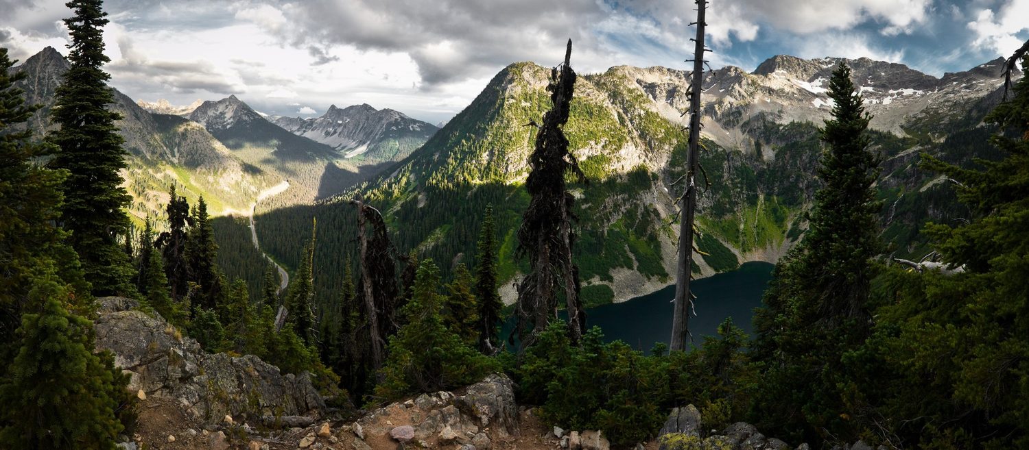
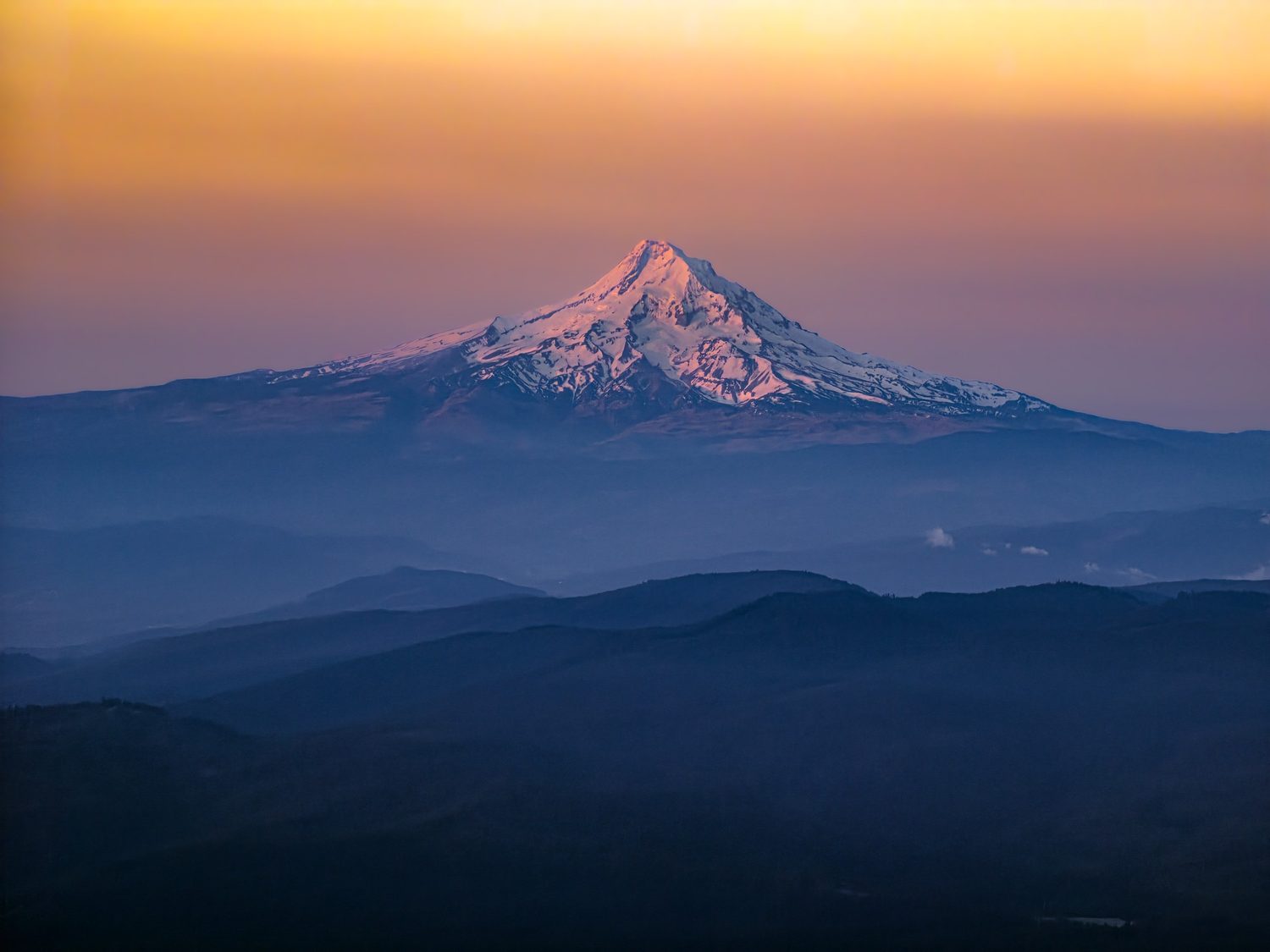
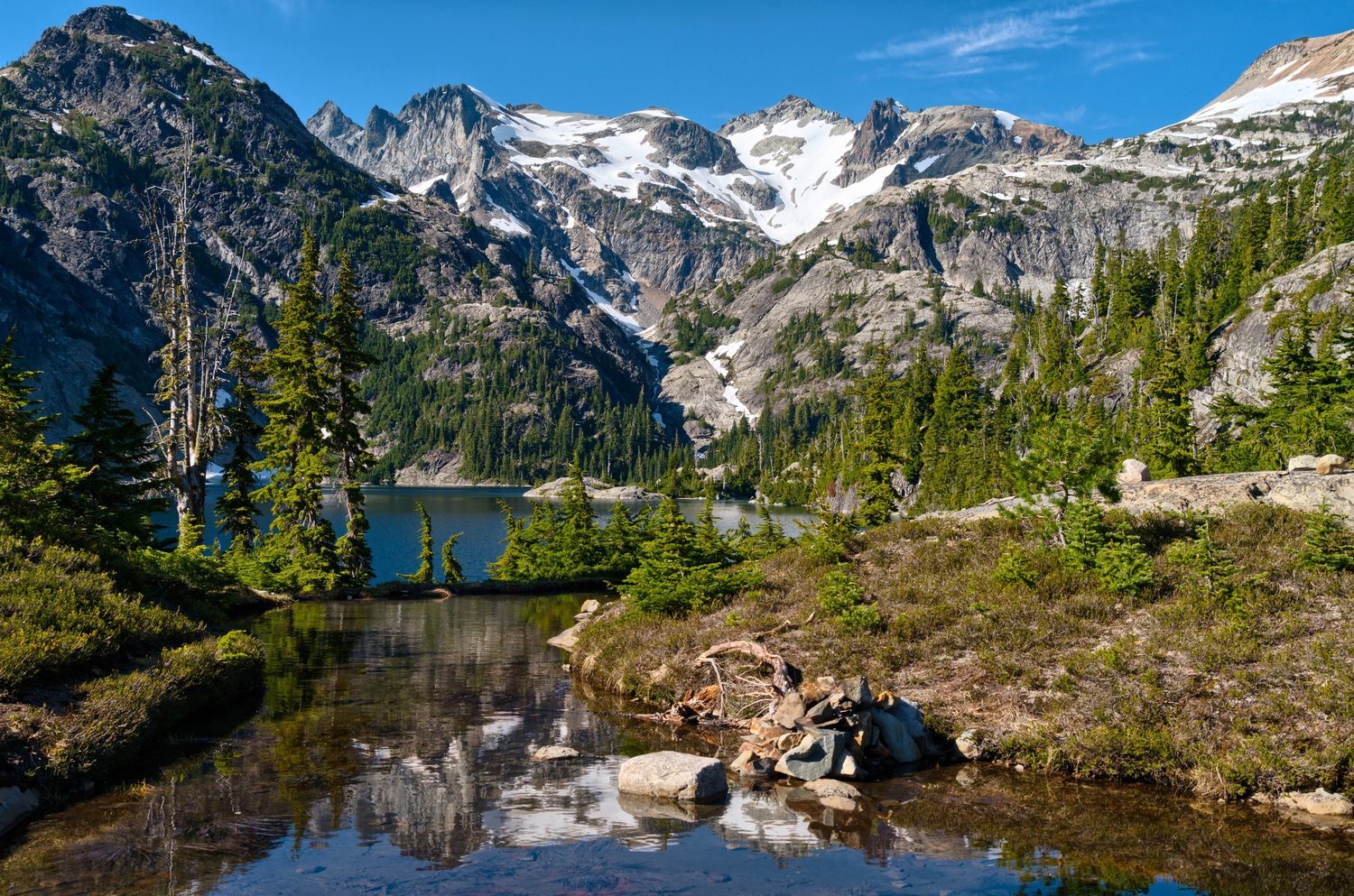
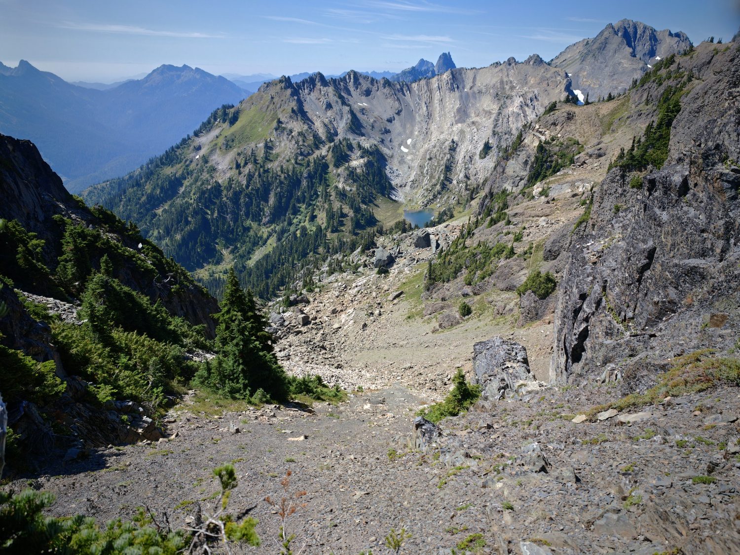
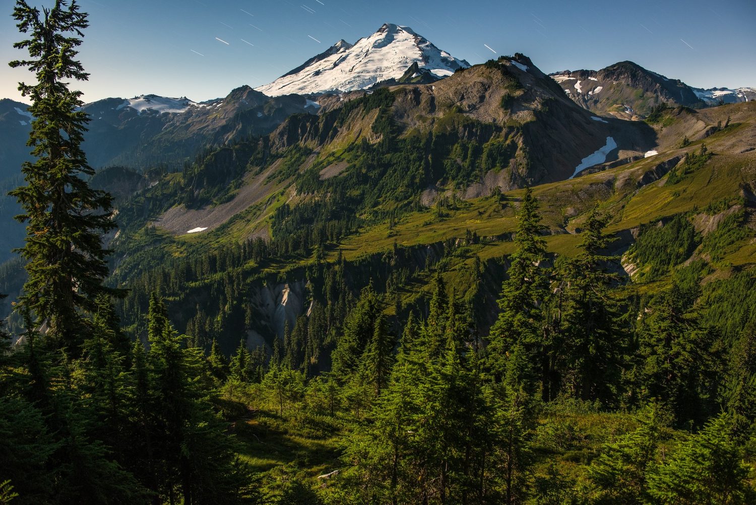
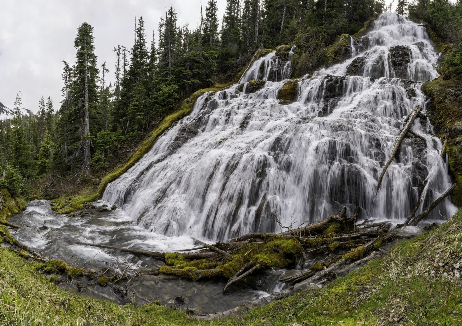
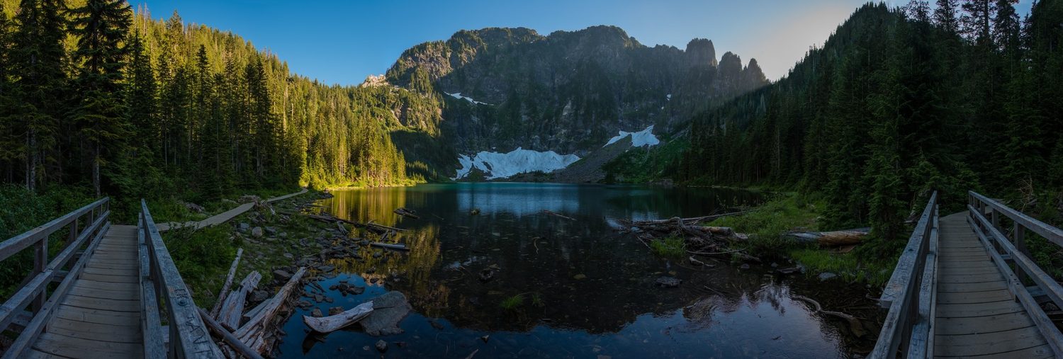
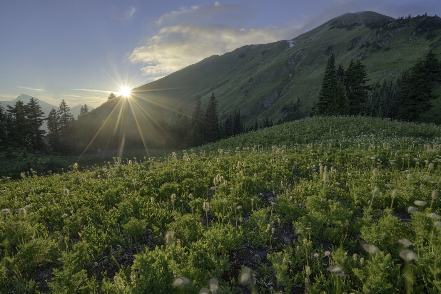
Photographs from the areas at issue
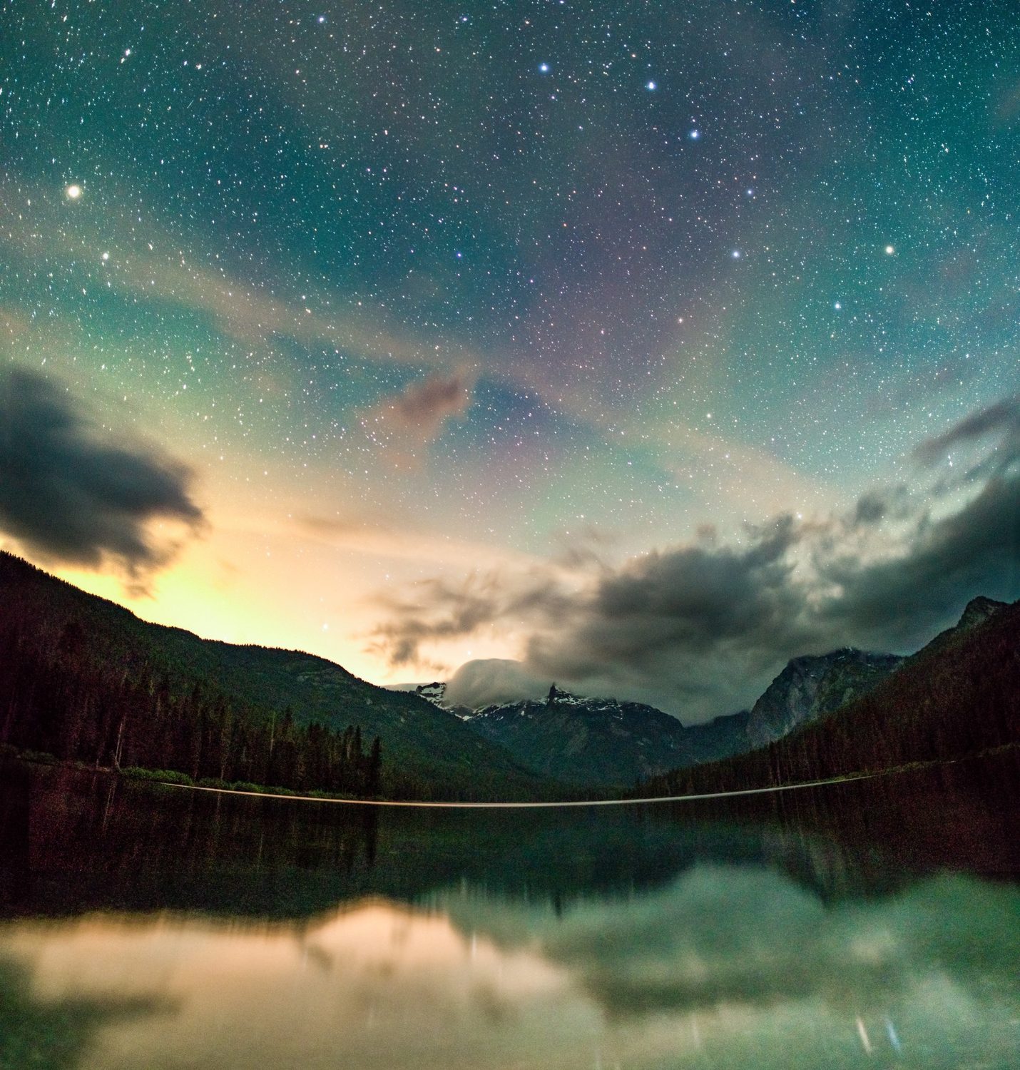
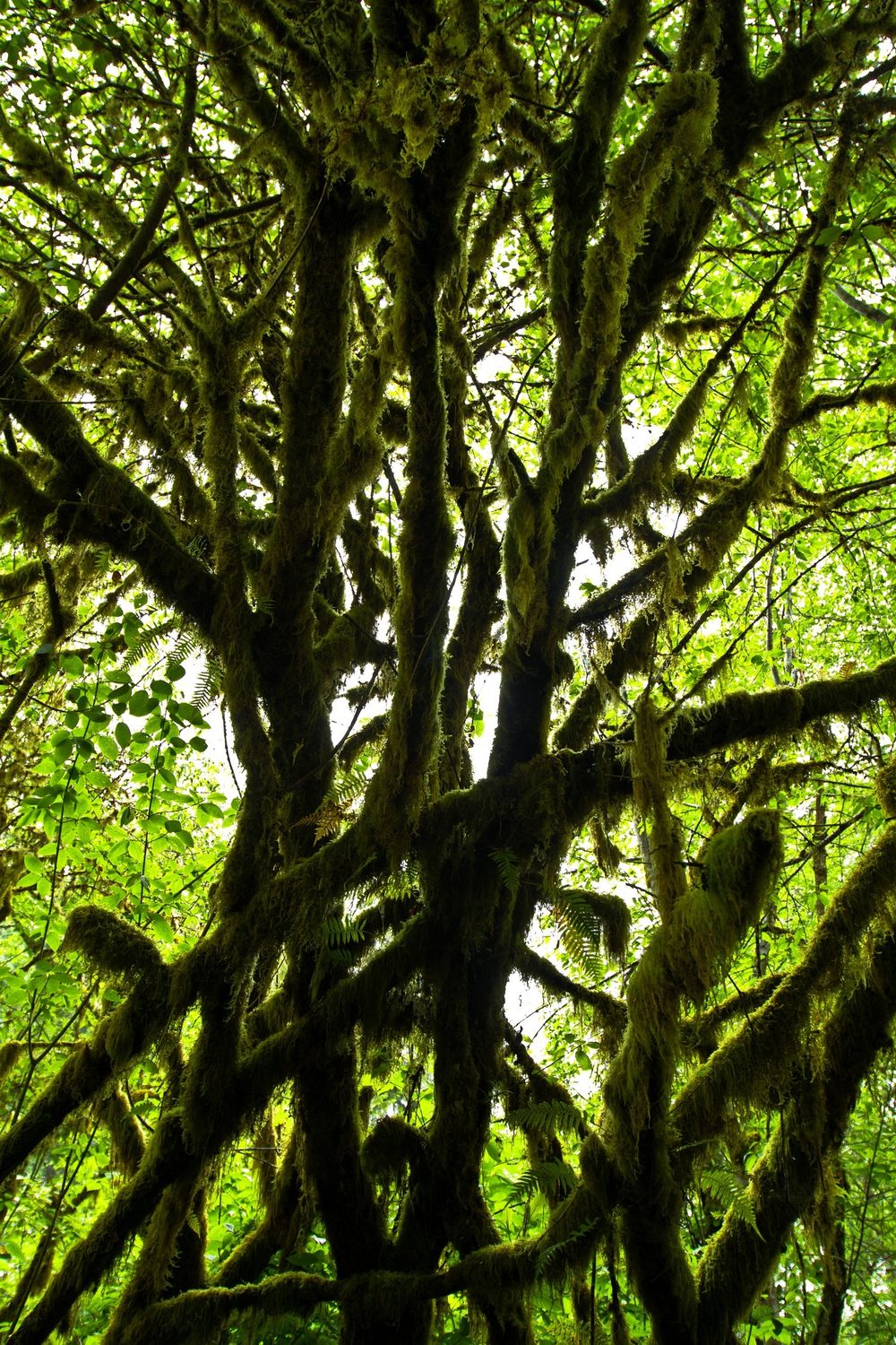
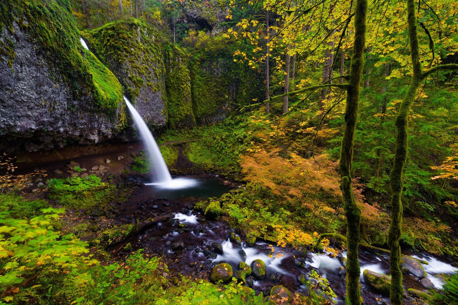
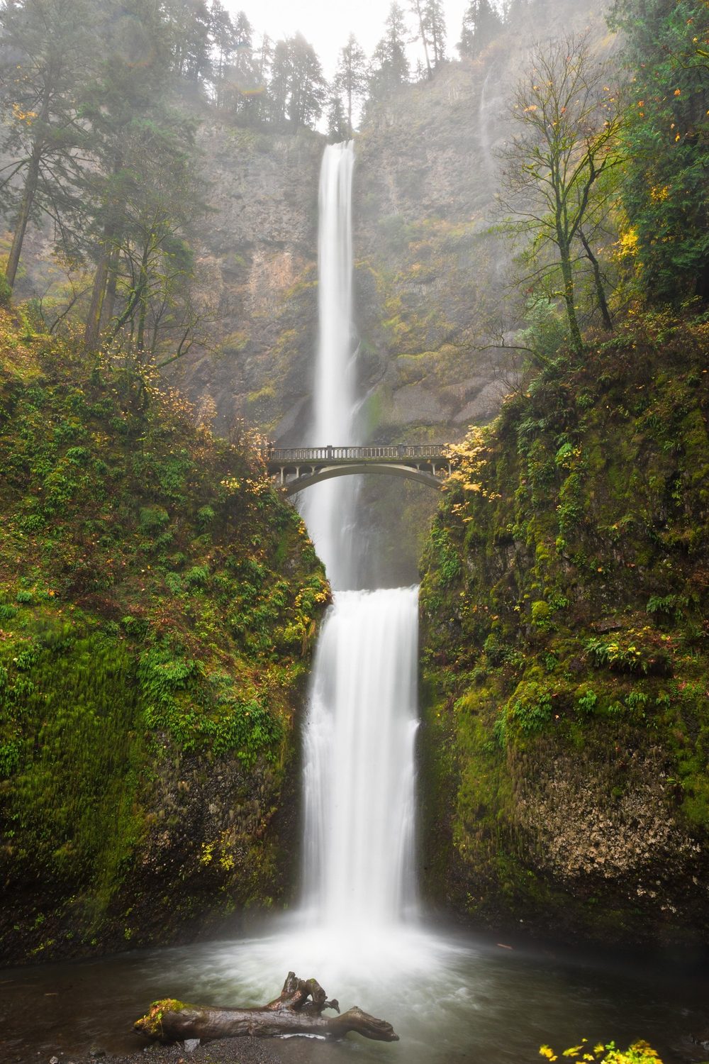
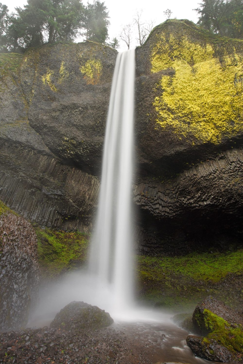
Every photograph below was taken inside an inventoried roadless area this rule would open. They are my own. Two of the areas shown, South Quinault and Larch Mountain, do not appear in the table above: I was in them with a camera but without a running GPS, so they are not counted in any figure in this comment.
10. The human case
Beyond the logical facts I have presented, the human one remains.
Time in nature is a deeply healing and personal act for millions of people. In a stress-laden world it can be the difference between calm and sanity. It brings us beauty, joy and happiness. It tests our deepest limits, humbles us, and reminds us that being alive on this planet is a gift. I have had seventeen years of that in the country described in this comment, and I have taken my daughter into it.
Wallace Stegner made the same case to a federal commission in 1960, writing that we “simply need that wild country available to us” even if we never do more than look in from its edge. Sixty-six years on there is less of it left, which makes the argument stronger rather than weaker.
Throwing that away for more roads, development and human damage is a travesty future generations will not forgive.
Imagine for a moment the last time you spent a day outdoors. The sun on your skin, the rain on your face, the wind through your hair. That is what you would be trading for hotels and asphalt, for dollars and cents.
Think beyond this moment and into the future. What legacy will we protect? I hope you choose the one that truly matters.
Requested Action
For the reasons set out above, fully or partially rescinding the Roadless Area Conservation Rule under Alternatives 2 or 3 of the draft EIS would be a grave mistake. I oppose the proposal to rescind or alter the Roadless Rule, and I support Alternative 1, the No Action alternative.
Specifically, I request that the Department:
1. Select Alternative 1 and retain 36 C.F.R. part 294, subpart B without modification.
2. In the alternative, prepare and circulate a supplemental draft EIS that (a) identifies specific hazardous fuels treatments precluded by § 294.13(b)(1); (b) analyzes the lifecycle maintenance liability and failure risk of authorized new road mileage; (c) analyzes effects on access to designated Wilderness through roadless approach corridors; (d) provides site-specific analysis of municipal watershed and ESA-listed salmonid effects; and (e) analyzes a strengthened-rule alternative and the tribal co-stewardship alternative.
3. Disclose and reconcile the WUI dataset and the analytical acreage denominator.
4. Complete formal ESA consultation and place the tribal consultation record in the public docket before issuing any final rule.
5. Extend the comment period and hold in-person public meetings in each affected state.
Thank you for considering these comments. Please include them in full in the administrative record for Docket No. FS-2025-0001.
Note on Data and Method
The figures in Section II come from my own GPS archive, intersected with the Forest Service's published boundary layers. The archive holds 533 GPX files, 407 CalTopo tracks, 158 inReach satellite tracks and 2,568 Garmin activities, collected between July 2009 and September 2026 and deduplicated where the same outing was recorded by more than one device.
Four filters are applied before any figure is computed, and they matter enough to state. Vehicle and air travel are removed by a speed gate. Routes drawn in inReach's planning tool but never walked are removed: they carry real geometry and a terrain-model elevation profile, so they are indistinguishable from recordings until you notice they have no elapsed time, and 81 of them were inflating my totals by 1,636 miles. Lift-served vertical at ski areas is subtracted, verified against mapped lift geometry rather than assumed. Implausible climbing is capped by activity and by maximum elevation.
Those corrections cut the vertical-feet figure in an earlier draft of this comment roughly in half, from 1.44 million to 711,997, and they are the reason this revision exists. They also raised the roadless overlap, from 21 areas to 24, because the underlying library was rebuilt more completely at the same time. I would rather submit a smaller number I can defend than a larger one I cannot. Mileage inside a polygon is approximate, since boundary polygons are simplified to roughly 40 metres and dense tracks are decimated for analysis; area membership is not approximate. The full track-by-track results, the code and the intermediate data are available on request.
Sources
- USDA Forest Service, Roadless Area Conservation, "Summary of Key Information" (state table): Washington - 9,214 thousand acres NFS, 2,015 thousand acres IRA, 21.9%, 1.7 MMBF, 1% of harvest, 15 jobs. fs.usda.gov/sites/default/files/roadless-summary-of-key-information-fsm8-037653.pdf; see also fs.usda.gov/managing-land/planning/roadless/state-maps/acreage-summaries. ↩
- USDA Forest Service Enterprise Data Warehouse, Inventoried Roadless Areas (2001 Rule) feature layer, fields roadlessareaname / forestname / statename / total_acres, queried September 2026: apps.fs.usda.gov/arcx/rest/services/EDW/EDW_InventoriedRoadlessAreas2001IdCo_01/MapServer/0. Track points were tested against these polygons by point-in-polygon. Nearest-Wilderness distances use the same agency's EDW Wilderness layer. Mileage figures are approximate (polygons simplified to roughly 40 m, dense tracks decimated); area membership is not. Track-by-track results available on request. ↩
- Special Areas; Roadless Area Conservation, Final Rule, 66 Fed. Reg. 3244 (Jan. 12, 2001), regulatory text at 36 C.F.R. §§ 294.12-294.13, 66 Fed. Reg. 3272-73. ↩
- Draft Environmental Impact Statement, Rescission of the 2001 Roadless Area Conservation Rule (Aug. 2026), as quoted in contemporaneous reporting; see Bloomberg Law, "Roadless Rule Rollback May Fuel More Wildfires, Agencies Say" (Aug. 2026) and Center for Western Priorities analysis (Aug. 2026). ↩
- Balch et al., "Human-started wildfires expand the fire niche across the United States," PNAS 114(11):2946-2951 (2017). ↩
- Fire Ecology (2024), 30-year analysis across Forest Service regions: ignition density of 7.99 fires per 1,000 ha within 50 m of roads, versus 1.97 in roadless areas and 1.75 in wilderness. ↩
- Source 1, supra. ↩
- 91 Fed. Reg. 53830-53832 (E.O. 12866 regulatory analysis). ↩
- Earth Economics, Economic Analysis of Outdoor Recreation in Washington State, 2020 Update (for the Washington Recreation and Conservation Office, DNR and REI), 2019 data. ↩
- U.S. DOT Volpe Center, Roadmap for Increased Investment in Western Washington's National Forest Road Network (July 2025), at 2, 10-11, as cited in the multistate Attorneys General comment letter (Sept. 19, 2025), co-led by Washington and California. ↩
- Mt. Baker-Snoqualmie National Forest, Sustainable Roads Strategy (2015). ↩
- Everett Herald, "Suiattle River Road reopening after 11 years" (Oct. 22, 2014); USFS Mt. Baker-Snoqualmie closure notice, Suiattle River Road washout (2025). ↩
- Spokesman-Review, "WA mountain access faces long road to recovery" (June 17, 2026); Cascadia Daily News (June 16, 2026). ↩
- Washington Department of Ecology, Washington Watershed Restoration Initiative for National Forests, Pub. No. 07-10-023. ↩
- Olden, J.D., Postel, S.L., Dombeck, M.P., Kesting, H., Freeman, P. & Comte, L., "Assessing the value of the U.S. Roadless Rule for people and nature," PLOS Water 5(7): e0000538 (2026). ↩
- Multistate Attorneys General comment letter (Sept. 19, 2025), citing Volpe Center (July 2025) at 10. ↩
- Black, T., Luce, C., Staab, B. & Cissel, R., Legacy Roads and Trails Monitoring Project: Road Decommissioning in the Skokomish River Watershed, Olympic National Forest, USFS Rocky Mountain Research Station (2009). ↩
- Olympic National Forest, Skokomish Watershed Restoration program totals: 91 miles decommissioned, closed or converted and 85 miles stabilized, at a combined cost of approximately $23.8 million (early 1990s-2015). ↩
- Biological assessment accompanying the DEIS, as reported by the Center for Western Priorities (Aug. 2026). ↩
- Comparative WUI analysis by Dr. Greg Aplet, The Wilderness Society, reported in Mountain Journal (2026). ↩
- 66 Fed. Reg. 3248 (Jan. 12, 2001) ("About 430 public meetings were held... The agency's notice of intent... drew about 16,000 people to 187 public meetings and elicited more than 517,000 responses."). ↩